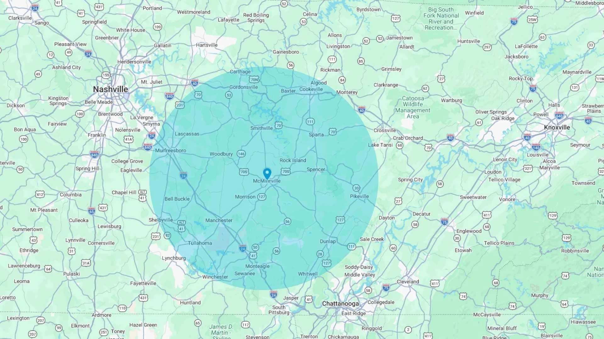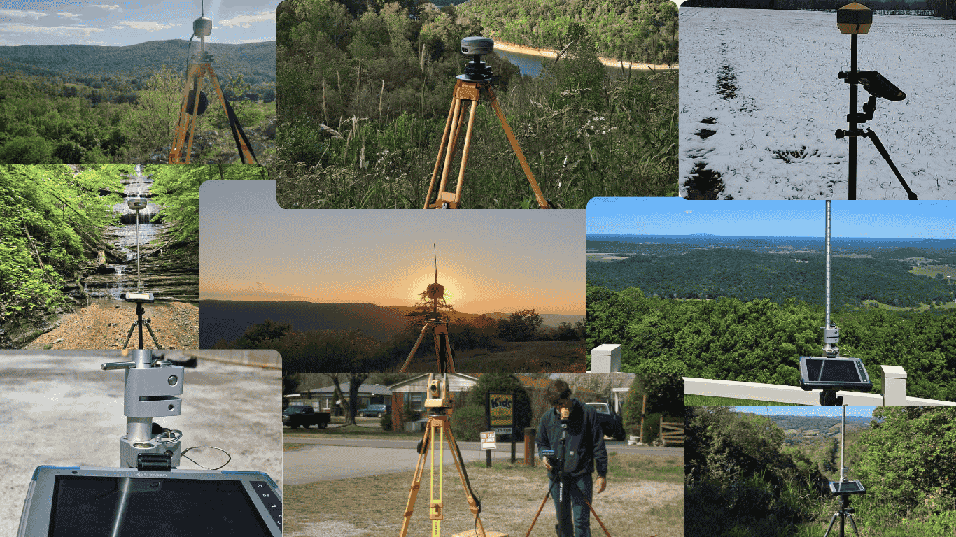
Land Surveying Services in McMinnville, TN
Land surveying for homes, businesses, and raw land around McMinnville and Surrounding areas. We help you sort out property lines, elevations, and site details so you know exactly what you’re dealing with before the next step.

BOUNDARY SURVEYS
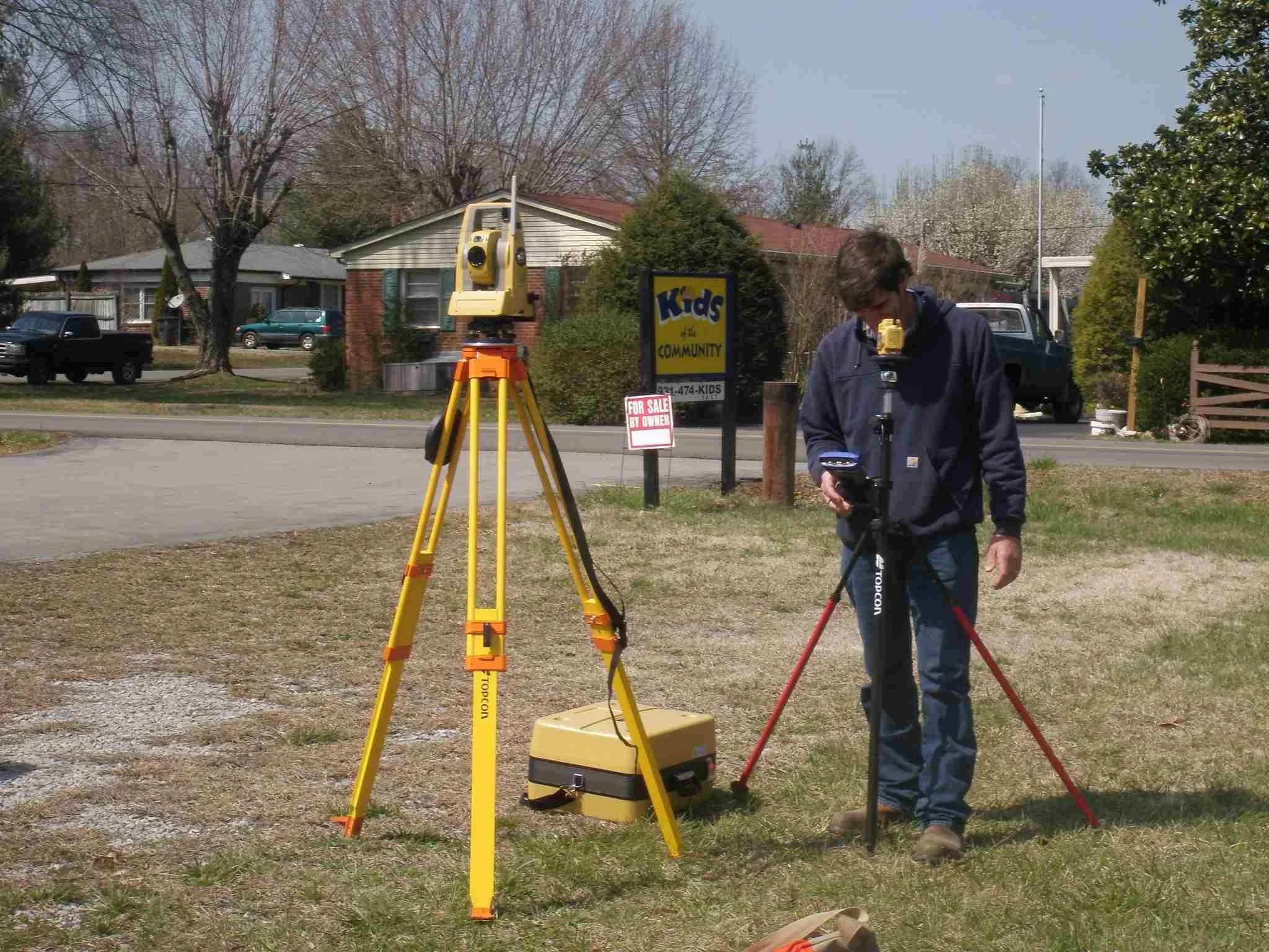
Clear boundary surveys for residential and commercial properties throughout McMinnville and surrounding areas. We locate property corners, lines, and easements so you know exactly where your land begins and ends. Whether you’re buying, building, fencing, or settling a line question, our surveys give you clear answers you can rely on.
TOPOGRAPHIC SURVEYS
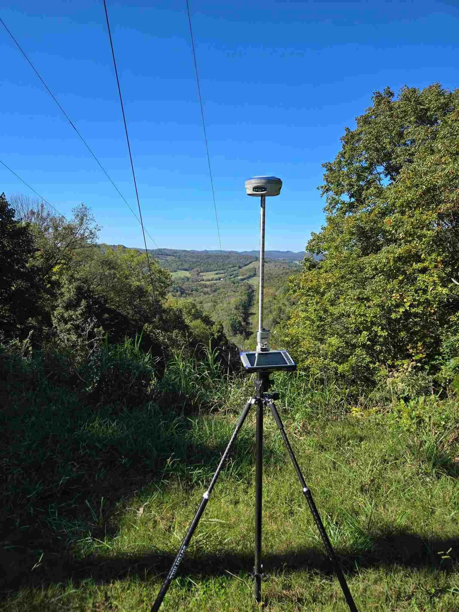
Topographic surveys that map elevations, slopes, and surface features across your property. This type of survey is commonly used for planning, design, and permitting, especially before construction begins. Our topo surveys provide accurate ground data that engineers, builders, and designers need to move forward with confidence.

ALTA / ACSM SURVEYS
ALTA/ACSM surveys completed to meet lender, title, and commercial transaction requirements. These surveys combine boundary details, improvements, access, and recorded information into one clear document. Commonly used for property sales and financing, they help all parties understand exactly what’s involved before closing.

PROPERTY DESCRIPTION PREPARATION
Accurate legal property descriptions prepared for deeds, plats, and official records. This service is often needed for land transfers, boundary updates, or development planning. Clear descriptions help prevent future disputes and make sure property records match what’s actually on the ground.

CONSTRUCTION SURVEYS
Construction surveys that help keep projects on track from start to finish. We provide layout and staking so buildings, roads, and improvements are placed in the correct location and elevation. This work is commonly used before and during construction to avoid costly layout mistakes.
AS-BUILT SURVEYS
As-built surveys that document what was actually constructed on a property. These surveys show final locations, elevations, and improvements once work is complete. Often required for permits or records, they help confirm everything matches approved plans.
SUBDIVISION SURVEYS
Subdivision surveys for landowners and developers looking to divide property into new lots. We handle boundary layout, lot lines, and required survey documentation to support planning and approval. Proper subdivision surveys help ensure new parcels are recorded correctly from the beginning.
ELEVATION CERTIFICATES
Elevation certificates prepared for properties located in flood zones or areas requiring flood insurance documentation. These surveys establish building elevations in relation to floodplain data and are commonly needed for insurance, permitting, or policy updates. Accurate certificates help avoid delays and unnecessary costs.